At AtomGeo, we specialize in providing comprehensive LIDAR data processing services to meet the diverse needs of our clients. With our advanced technology, expertise, and a highly skilled team, we offer a wide range of LIDAR data processing solutions tailored to your specific requirements.
Our Services:
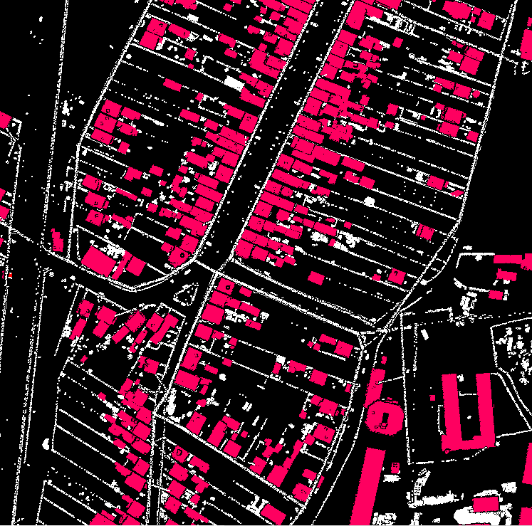
- Ground & Non-Ground Classification
- Advanced Classification
- Powerline Classification
- DTM (Digital Terrain Model) Generation
- DSM (Digital Surface Model) Generation
- Contour Generation
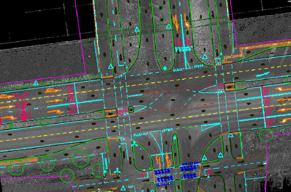
- Advanced Corridor Classification
Ground & Non-Ground Classification:
Our LIDAR data processing team utilizes cutting-edge algorithms and techniques to accurately classify ground and non-ground points. This crucial step lays the foundation for further analysis and modeling.
Advanced Classification:
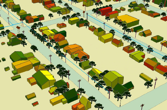
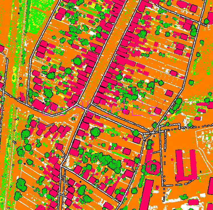
We go beyond basic classification and offer advanced feature extraction and object classification services. Our team can identify and classify various objects such as buildings, vegetation, roads, water bodies, and more, providing you with detailed and actionable insights.
Powerline Classification:
We specialize in powerline classification, which involves identifying powerlines and associated structures from LIDAR data. Our team employs specialized techniques to accurately detect and classify powerline assets, enabling efficient planning and maintenance.
DTM (Digital Terrain Model) Generation:
Our experts process LIDAR data to create high-resolution Digital Terrain Models (DTMs). These models represent the bare earth surface, providing essential elevation information for various applications, including land development, flood modeling, and hydrological analysis.
DSM (Digital Surface Model) Generation:
With our DSM generation services, we create detailed Digital Surface Models from LIDAR data. DSMs include above-ground features such as buildings, vegetation, and infrastructure, enabling comprehensive 3D visualization and analysis.
Contour Generation:
We extract precise contour lines from LIDAR data, allowing for accurate representation of terrain features. These contours are valuable for engineering design, land development, and topographic mapping.
Hill Shades:
Our team can generate visually appealing hill shades from LIDAR data, enhancing the perception of terrain relief and aiding in visual interpretation and analysis.
Advanced Corridor Classification:
We specialize in corridor classification, accurately identifying and classifying transportation corridors such as roads, railways, and pipelines. This information is vital for infrastructure planning, maintenance, and asset management.

Our Team’s Capabilities
Expert Team
At AtomGeo, we take pride in our team of skilled professionals who have extensive experience in LIDAR data processing and analysis. With a deep understanding of the latest software tools and technologies, our team is well-equipped to handle complex projects and deliver high-quality results.
Integration
We combine technical expertise with a commitment to customer satisfaction. Our team works closely with clients to understand their specific needs, ensuring that the delivered LIDAR data products meet the highest standards of accuracy and precision.
24/7 Support
Whether you require ground and non-ground classification, advanced feature extraction, or specialized classification services, our team is ready to assist you. We are dedicated to providing reliable, efficient, and cost-effective LIDAR data processing solutions tailored to your project’s requirements.
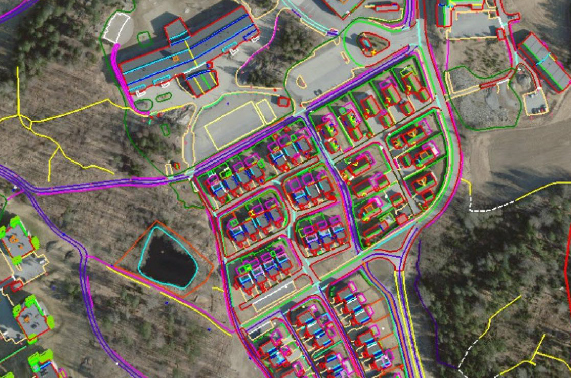
Atomgeo are equipped to provide services in digital photogrammetry to our global clients, with extensive experience and highly qualified, well trained and skilled resources along with the latest hardware/software; we are well equipped to provide the full range of services in digital photogrammetry like

Atomgeo have expertise in generating digital Orthophoto that match the resolution of the aerial images with continuous tone,our team is well experienced in applying variety of image enhancement and edge sharpening procedures using advanced Image processing methods. Othophoto process encompasses matching color, contrast and feathering techniques to ensure a practically unified mosaic.
