Empowering Precision with Geospatial Intelligence
Founded in 2019, AtomGeo Private Limited stands at the forefront of geospatial technology, delivering innovative solutions in remote sensing, surveying, and mapping. Our mission is to transform complex spatial data into actionable insights, enabling smarter decisions across various industries.
25+
Years of experience
in Exceptional Geospatial that empower our clients.
Geospatial Data for your Business needs
Our Team
Our strength lies in our diverse and skilled team
Management: Led by industry veterans who steer our strategic vision and ensure excellence in service delivery.
Technical Experts: A dedicated group of professionals adept in the latest geospatial technologies and methodologies.
R&D Innovators: A forward-thinking team committed to exploring new technologies and applications in the geospatial domain.
Quality & Compliance
AtomGeo is proud to be ISO 9001:2015 certified, reflecting our commitment to maintaining the highest standards of quality in our operations. We also carry comprehensive public liability and professional indemnity insurance, ensuring peace of mind for our clients.
Our Commitment
At AtomGeo, we are dedicated to delivering exceptional geospatial services that empower our clients to make informed decisions and drive success. Our blend of experience, innovation, and commitment to quality positions us as a trusted partner in the geospatial industry.
For more information or to discuss your project needs, please contact us at +91 7993582777

Management Team:
At AtomGeo, we are proud to have a talented and experienced management team that guides our operations and ensures the highest level of service delivery. Our executives bring diverse backgrounds and expertise to the table, combining their industry knowledge with a strategic vision for our company’s growth and success.

Projects Completed

Satisfied Clients

Drone Surveys

Students Trained

ISO 9001:2015 Certification
We are proud to be ISO 9001:2015 certified, demonstrating our commitment to maintaining the highest standards of quality in our operations. This certification reflects our dedication to delivering exceptional geospatial services while adhering to robust quality management systems and continuous improvement processes
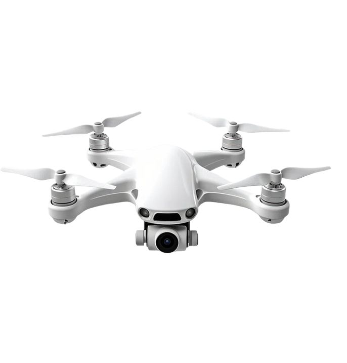
To enhance our geospatial capabilities, we maintain a modern fleet of advanced drones equipped with state-of-the-art sensors and cameras. Our skilled drone pilots are trained to operate these aerial platforms safely and efficiently, capturing high-resolution imagery and data for surveying and mapping purposes. The use of drones enables us to collect geospatial information in a cost-effective and time-efficient manner, delivering accurate and detailed results.


