AtomGeo offers comprehensive GIS data processing services to assist organizations in harnessing the power of geospatial information. Our dedicated team of experts, equipped with advanced technology and extensive industry knowledge, provides accurate and reliable solutions tailored to
your specific project requirements.
Our Services:
- GIS Mapping and Analysis
- Data Conversion and Integration
- Spatial Database Design and Management
- Geocoding and Address Verification
- Spatial Analysis and Modeling
- Custom GIS Application Development
GIS Mapping and Analysis:
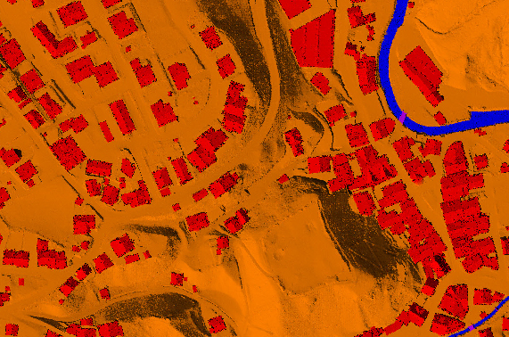
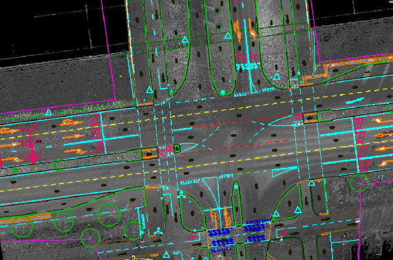
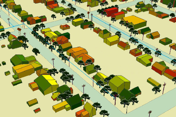
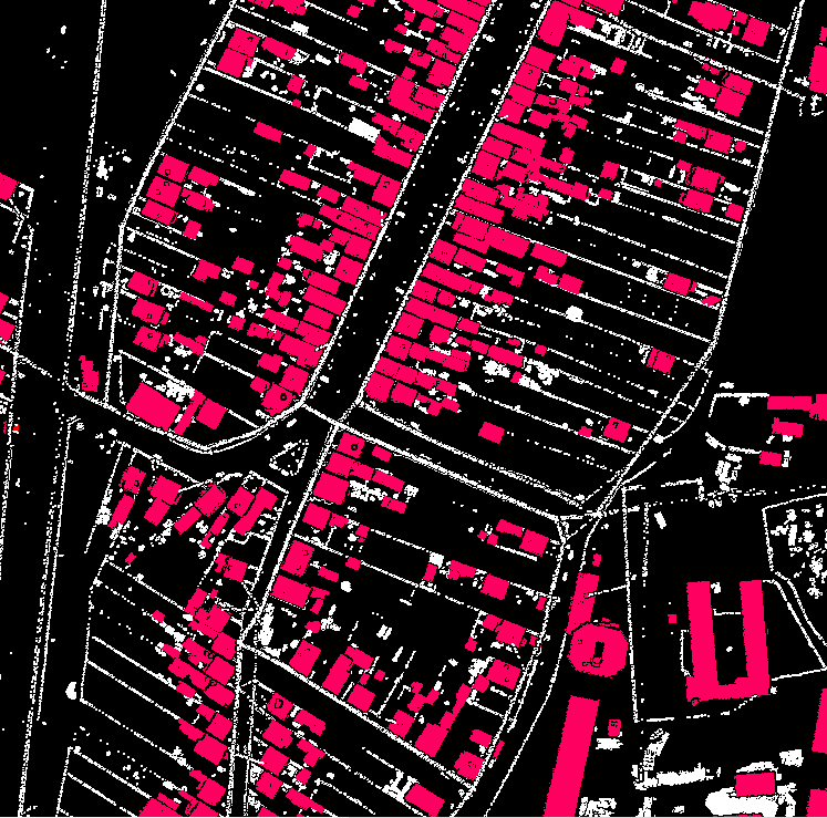
We specialize in GIS mapping and analysis, encompassing a wide range of applications such as land use planning, environmental management, infrastructure development, and resource allocation. Our team utilizes advanced GIS tools and techniques to create high-quality maps and perform spatial analysis to derive meaningful insights.
Data Conversion and Integration:
AtomGeo excels in data conversion and integration, helping you seamlessly merge disparate datasets from various sources into a unified GIS platform. Our team ensures data integrity, performs attribute mapping, and optimizes data structures for efficient storage and retrieval.
Spatial Database Design and Management:
We offer spatial database design and management services, creating robust and scalable GIS databases that store and organize your geospatial data efficiently. Our team employs industry best practices to ensure data integrity, security, and optimal performance.
Geocoding and Address Verification:
With our geocoding and address verification services, we enable precise location referencing for your addresses and enable spatial analysis based on geocoded data. Our team utilizes advanced geocoding algorithms and reference data to provide accurate geolocation results.
Spatial Analysis and Modeling:
AtomGeo provides advanced spatial analysis and modeling services, allowing you to gain valuable insights from your GIS data. Our team employs a variety of techniques, including proximity analysis, spatial statistics, network analysis, and suitability modeling, to support informed decision-making.
Custom GIS Application Development:
We specialize in developing custom GIS applications tailored to your unique requirements. Whether you need a web-based GIS portal, mobile mapping application, or specialized GIS tools, our team has the expertise to design and develop solutions that enhance your workflow and data management capabilities.


Our Team’s Capabilities
Expert Team
At AtomGeo, we take pride in our team of highly skilled professionals experienced in GIS data processing and analysis. Our experts possess in-depth knowledge of industry-leading GIS software and are adept at applying the latest geospatial technologies to solve complex problems.
Integration
We prioritize client collaboration and communication. Our team works closely with you to understand your project goals, data specifications, and desired outcomes, ensuring that the delivered GIS solutions align with your expectations.
24/7 Support
With a strong track record of successful projects across various industries, our team is equipped to handle projects of varying complexities and sizes. We are committed to delivering accurate, reliable, and cost-effective GIS data processing solutions that empower you to make informed decisions.
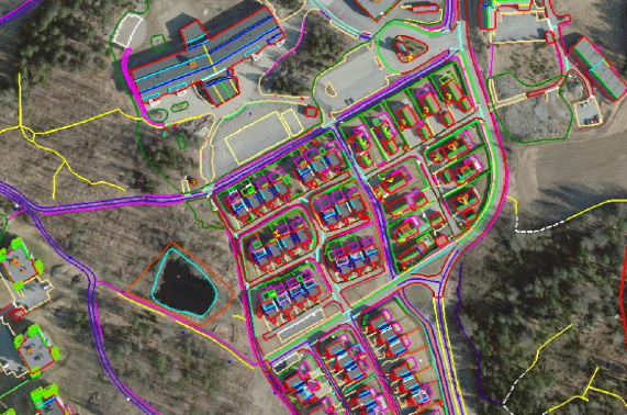
Atomgeo are equipped to provide services in digital photogrammetry to our global clients, with extensive experience and highly qualified, well trained and skilled resources along with the latest hardware/software; we are well equipped to provide the full range of services in digital photogrammetry like
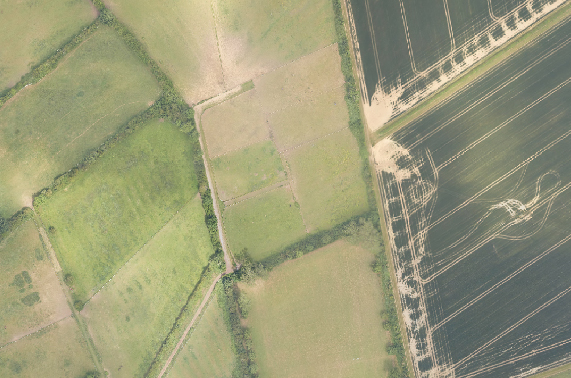
Atomgeo have expertise in generating digital Orthophoto that match the resolution of the aerial images with continuous tone,our team is well experienced in applying variety of image enhancement and edge sharpening procedures using advanced Image processing methods. Othophoto process encompasses matching color, contrast and feathering techniques to ensure a practically unified mosaic.
