Home
About Us
Data Services
LiDAR Data Processing
Photogrammetry Mapping
Mobile Mapping
Geographic Information Systems
Orthophoto Processing
3D Modeling
Drone Solutions & Survey
Training Development
Contact Us
Home
About Us
Data Services
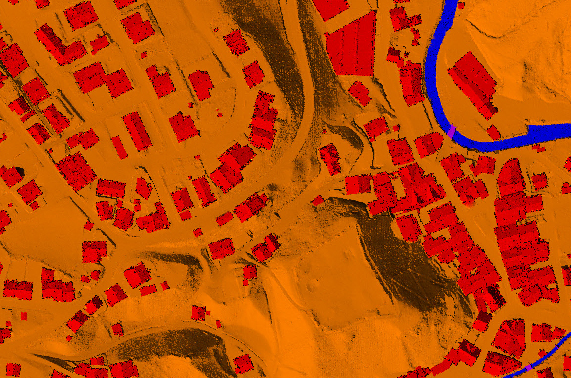
LiDAR Data Processing
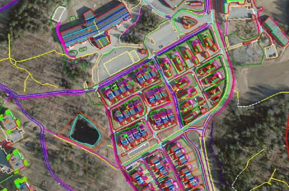
Photogrammetry Mapping
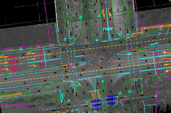
Mobile Mapping
Geographic Information Systems
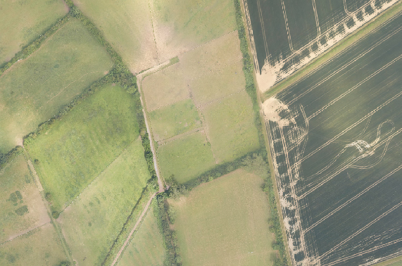
Orthophoto Processing
3D Modeling
Drone Solutions & Survey
Training Development
Contact Us
Home
About Us
Data Services
LiDAR Data Processing
Photogrammetry Mapping
Mobile Mapping
Geographic Information Systems
Orthophoto Processing
3D Modeling
Drone Solutions & Survey
Training Development
Contact Us
Home
About Us
Data Services
LiDAR Data Processing
Photogrammetry Mapping
Mobile Mapping
Geographic Information Systems
Orthophoto Processing
3D Modeling
Drone Solutions & Survey
Training Development
Contact Us
Data Services
Home
Data Services
LiDAR Data Processing
Read More
Mobile Mapping
Read More
Orthophoto Processing
Learn More
Photogrammetry Data Processing
Read More
GIS
Read More
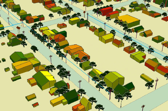
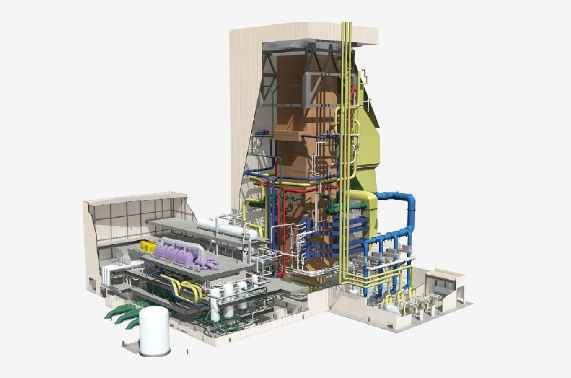
3D Modeling
Learn More