AtomGeo offers advanced orthophoto and drone data processing services to transform raw aerial imagery into accurate and visually appealing georeferenced products. Our dedicated team of experts, armed with state-of-the-art technology and extensive industry knowledge, is committed to delivering high-quality results tailored to your specific project requirements.
- Orthophoto Services
- Drone Data Processing Services
Orthophoto Services:
Ortho Mosaicking:
We specialize in ortho mosaicking, combining multiple aerial images to create a seamless and georeferenced orthophoto. Our team employs advanced algorithms and rigorous quality control measures to ensure accurate alignment, color balance, and image blending.
Edge Matching:
We excel in edge matching techniques, ensuring smooth transitions and eliminating visible seams between adjacent orthophoto tiles. Our team pays meticulous attention to detail, resulting in a visually pleasing and cohesive orthophoto product.
Seamline Editing:
AtomGeo offers seamline editing services to remove artifacts and inconsistencies along the edges of orthophoto tiles. Our experts utilize advanced image editing tools to seamlessly blend the tiles, resulting in a seamless and visually continuous orthophoto product.
Color Correction: Our team performs color correction on orthophoto products to ensure accurate representation of the underlying terrain and features. We enhance color balance, contrast, and saturation, producing visually appealing and true-to-life orthophotos.
Drone Data Processing Services:
Drone Image Stitching:
We specialize in stitching together aerial images captured by drones to create detailed and georeferenced orthomosaics. Our team employs advanced algorithms and precise geolocation techniques to ensure accurate alignment and registration of the drone images.
Digital Elevation Model (DEM) Generation:
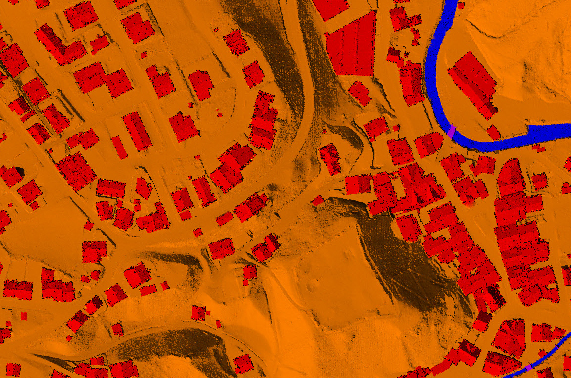
With our drone data processing capabilities, we generate high-resolution Digital Elevation Models (DEMs) from drone imagery. Our expertsextract precise elevation information, enabling terrain analysis, volumetric calculations, and 3D visualization.
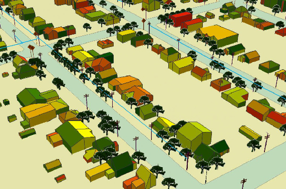
Point Cloud Generation: AtomGeo excels in generating dense and accurate point clouds from drone data. Our team utilizes advanced photogrammetry techniques to extract 3D information, enabling detailed feature extraction, volumetric analysis, and precise measurements.
3D Rec


Our Team’s Capabilities
Expert Team
At AtomGeo, we have a highly skilled team of professionals experienced in orthophoto and drone data processing. Our experts possess in-depth knowledge of advanced image processing techniques, photogrammetry software, and GIS technologies.
Integration
We prioritize client collaboration and communication. Our team works closely with you to understand your project goals, image specifications, and desired outcomes, ensuring that the delivered products meet your expectations.
24/7 Support
With a proven track record of successfully completing projects of varying complexities and sizes, we are confident in our ability to deliver exceptional orthophoto and drone data processing solutions tailored to your specific needs.
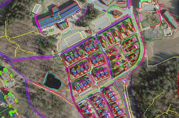
Atomgeo are equipped to provide services in digital photogrammetry to our global clients, with extensive experience and highly qualified, well trained and skilled resources along with the latest hardware/software; we are well equipped to provide the full range of services in digital photogrammetry like
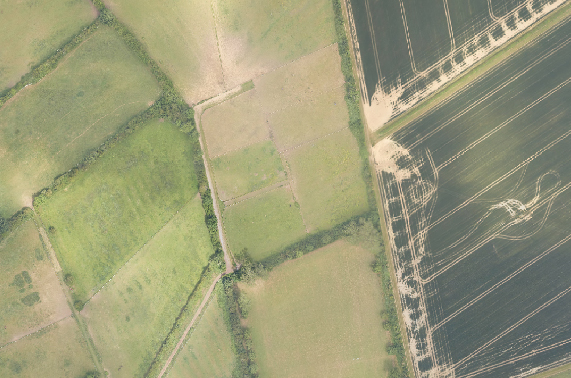
Atomgeo have expertise in generating digital Orthophoto that match the resolution of the aerial images with continuous tone,our team is well experienced in applying variety of image enhancement and edge sharpening procedures using advanced Image processing methods. Othophoto process encompasses matching color, contrast and feathering techniques to ensure a practically unified mosaic.
